East Kimberley Copper Project
East Kimberley Copper Overview
| Location | Western Australia |
| Region | East Kimberley |
| Project Size | 1400km2 |
| Owners | Balanggarra Aboriginal Corporation |
East Kimberley Copper Project
Western Australia
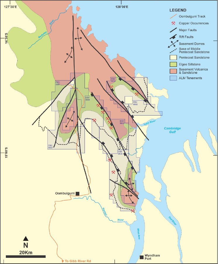
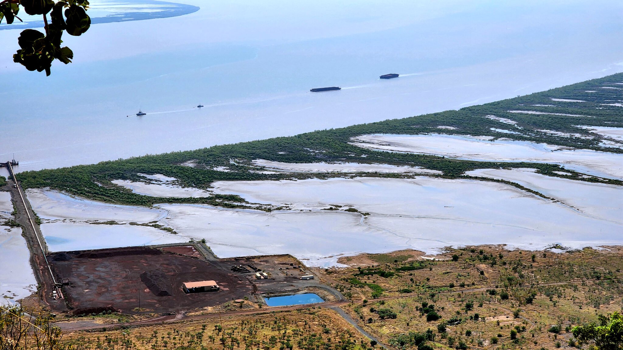
The 1400km2 East Kimberley project is situated 30-100km north of Wyndham with limited road access but good support services in Kununurra. The area is subject to travel and access restrictions requiring approval by the traditional owners, the Balanggarra people. Alma and the Balanggarra Aboriginal Corporation have entered into a Heritage Protection Agreement which sets out the protocols for Alma to seek clearance for its exploration programs.
Geological Setting

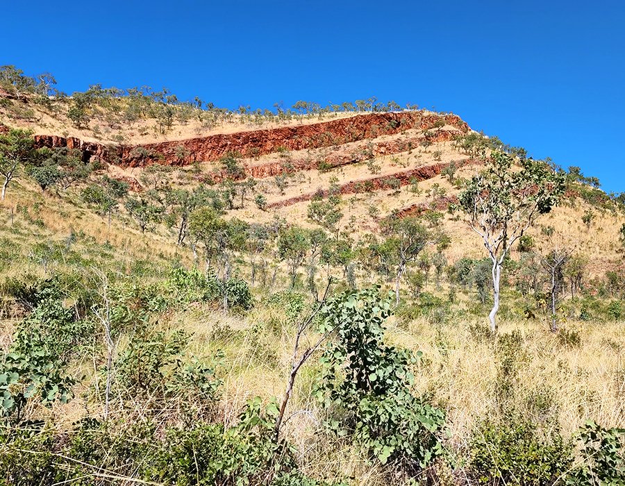
The East Kimberley plateaux comprises flat to near flat lying clastic sediments and volcanic rocks of the Kimberley Group. The lower part of the Kimberley Group contains the Wunaamin Miliwundi sandstones and the Carson Volcanics comprising massive, altered basalts and minor clastic sediments. These are overlain by the massive red siltstones and minor shales of the Elgee Siltstone, and then in turn by the Pentecost Sandstone, comprising Lower, Middle and Upper units.
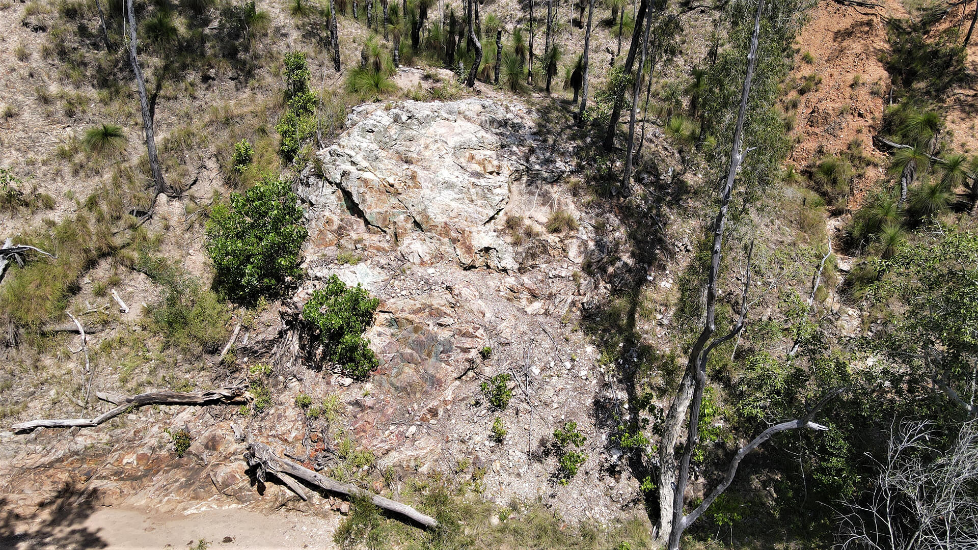
Known copper occurrences have been mapped within or adjacent to the shale units of the Elgee Siltstone and associated with glauconitic sandstones at the base of the Middle Pentecost Sandstone.
In both instances, these horizons represent reduced sequences which make favourable hosts for copper sulphide precipitation. Copper may have been sourced from the underlying altered basalts of the Carson Volcanics. Copper accumulation may have occurred at structural sites in the reduced host sequences such as fault margins to sub-basins and along the edges of uplifted domes.
The geology and copper occurrences fit the conceptual model for sediment-hosted copper mineralisation such as that known in the world-class Central African Copperbelt (Zambia and DRC).
Alma has two granted exploration licences and five more under application which cover known copper occurrences that represent both structural settings discussed above. There are several known copper occurrences in both the Elgee Siltstone and the base of the Middle Pentecost Sandstone in the area under application. The area shows significant sub-basin marginal faulting along dome margins, which may have acted as fluid pathways for copper-bearing solutions to move from the underlying Carson Volcanics into the stratigraphically higher trap sites.
Exploration History and Strategy
Virtually no modern exploration for copper has occurred in the region since regional reconnaissance level stream sediment sampling undertaken by CRA Exploration in 1971. Alma therefore considers this to be a first-mover province.
Alma Metals plans to undertake two phases of reconnaissance:
- Preliminary helicopter-supported evaluation of the known copper occurrences to validate the exploration model, followed by
- Comprehensive stream sediment sampling program designed to collect approximately 1000 samples within the project. Results will be used to focus future exploration on those areas showing copper anomalism
Future exploration may include airborne electro-magnetic (EM) surveys to directly target massive sulphide bodies, ground EM follow-up and drill testing.

Our Projects

Briggs Copper Project
QUEENSLAND: The Briggs, Mannersley and Fig Tree Hill Porphyry Copper Project comprises three Exploration Permits for Minerals (EPM) and one application for an EPM covering a total area of approximately 245 square kilometres.

East Kimberley Copper Project
WESTERN AUSTRALIA: The East Kimberley Copper Project is situated 30-100km north of Wyndham with limited road access but good support services in Kununurra.
